

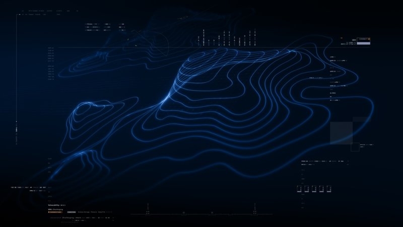
Staring down at a flat GPS screen while moving at extreme speeds gets people killed. You cannot accurately represent a massive mountain range or a complex five-level highway interchange on a cheap, two-dimensional dashboard monitor. The human brain wastes critical seconds translating flat topography lines into actual physical depth. Holographic maps completely shatter that outdated standard. Pushing raw digital data directly into open space forces instant spatial awareness. You look straight ahead and see the exact terrain floating before you. This technology permanently changes how military pilots and civilian drivers survive extreme navigation hazards globally.
Must Read: Hologram Technology Trends Shaping Modern Visual Experiences
These systems pull flat digital data directly into physical space. Instead of forcing pilots to stare at two-dimensional screens, the hardware projects massive, light-based terrain models right onto the dashboard. You interact physically with the projected topography, eliminating the dangerous mental gymnastics required to translate flat lines into actual mountains perfectly.
The system manipulates heavy light fields to build actual physical depth. You do not wear bulky virtual reality headsets. The projector throws a true three-dimensional image directly into the open air. Operators instantly recognise massive elevation shifts, severe weather patterns, and harsh urban obstacles floating precisely inside their standard line of sight.
Top Pick: 4 Mistakes You Must Avoid While Choosing a Hologram Supplier
Flat displays fail when you introduce extreme vertical movement and harsh weather. You need instant spatial awareness to survive complex flight paths or high-speed tactical drops safely.
Flat monitors wash out completely under direct sunlight. Light-field projections hold their visual integrity even in massive high-altitude glare and blinding desert sun.
Seeing a physical mountain peak projected in 3D triggers human survival instincts instantly. A flat contour line barely registers in a high-stress scenario, leading to fatal errors.
The entire crew looks at the same projection from entirely different angles simultaneously. The image automatically corrects its perspective based on exactly where you sit in the cabin.
Helicopter pilots travel through heavy fog completely blind to the actual ground below. Upgrading legacy cockpit hardware stops massive terrain collisions instantly and completely secures the designated flight path.
Pilots instantly see if their spinning rotor blades will clip a harsh canyon wall. The projection builds a perfect spatial boundary around the aircraft, flashing red when you drift too close.
Finding a flat dirt patch in a massive forest at midnight requires heavy sensor data. The display highlights safe landing angles using bright, contrasting light, ensuring the landing gear does not snap.
The system plots real-time enemy GPS coordinates directly onto the physical terrain model floating in the cabin, locking the exact strike coordinates in instantly for the weapons officer.
Commanders waste hours analysing flat paper maps in poorly lit command tents. Tactical operations demand an immediate, brutal understanding of the physical battlefield before the heavy assault troops actually deploy.
Soldiers visualise multi-storey buildings before kicking the front door in. The system maps the stairwells, narrow elevator shafts, and deadly sniper angles perfectly, completely removing the element of surprise from the enemy.
You physically see exactly where a massive hill blocks the enemy line of sight. Commanders drag digital troops across the interactive 3D model to test the exact approach vectors without risking human lives.
Forward observers project the violent impact zone directly in front of them on a hood. They adjust the coordinates instantly based on the visual blast radius mapped entirely on the digital table.
Generating physical light structures in broad daylight requires a massive hardware overhaul. Engineers must build heavy projectors that survive brutal physical turbulence and intense cabin heat without shattering the glass.
Old light-field displays took up an entire research room. Engineers now compress the heavy laser arrays into incredibly small black boxes that fit perfectly behind a standard car dashboard without ruining the vehicle interior.
Pushing massive amounts of dense light creates extreme physical heat. The hardware requires heavy liquid cooling pipes and industrial fans to stop the lasers from completely melting the plastic console during a harsh ten-hour drive.
Generating billions of light rays drains standard car batteries incredibly fast. The 3D navigation systems must tap directly into heavy electric vehicle powertrains to keep the projection completely stable and bright throughout the trip.
Clinging to flat screens in a three-dimensional world guarantees a catastrophic failure. You cannot safely operate a massive jet or a speeding car by staring down at a static, two-dimensional dashboard while ignoring the physical world outside the window. Implementing actual holographic maps forces the critical data straight into your natural line of sight. It kills the hesitation, stops the dangerous mental math, and gives you exact terrain depth instantly.
The system fires billions of precise laser beams into a small physical volume of air. These intersecting light rays bounce off specific dust or engineered particles, creating a solid, high-resolution physical model of the upcoming terrain directly in front of the driver.
Fighter pilots use them to physically track enemy missiles wrapping around mountain peaks. Commercial truck drivers will use them to highlight exact delivery loading docks buried inside massive, confusing industrial parks without ever looking down at a mobile phone.
It is a completely glasses-free visual projection of geographical data. It takes raw topographical numbers and builds a floating, interactive light construct that you can physically walk around and view from multiple distinct angles simultaneously.
They permanently destroy the mental delay caused by reading a flat map. When a massive cliff edge appears as a physical, glowing drop-off directly inside your cabin, you react instinctively and instantly rather than processing the geographic danger intellectually.
The software ingests live LiDAR scans and drone photogrammetry continuously. It immediately translates those heavy elevation data points into a physical light matrix, projecting exact mountain ridges and deep valleys scaled perfectly to the dashboard display in real time.
This content was created by AI